
PROJECTS
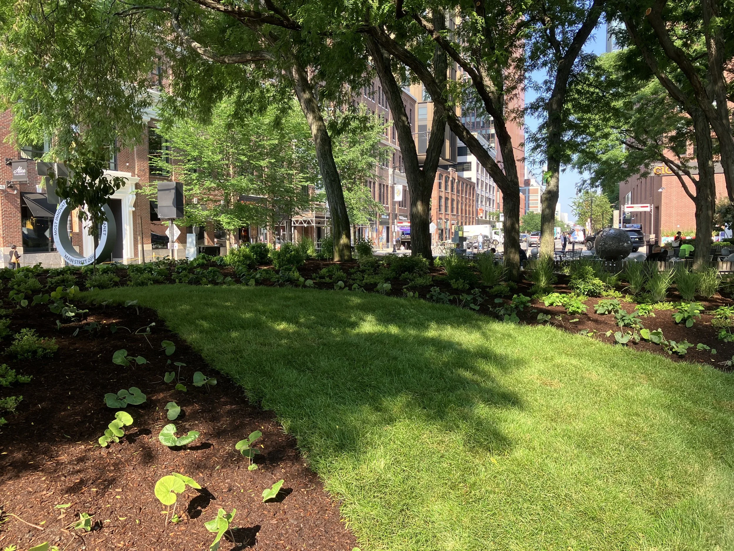


Central Square
Cambridge, MA
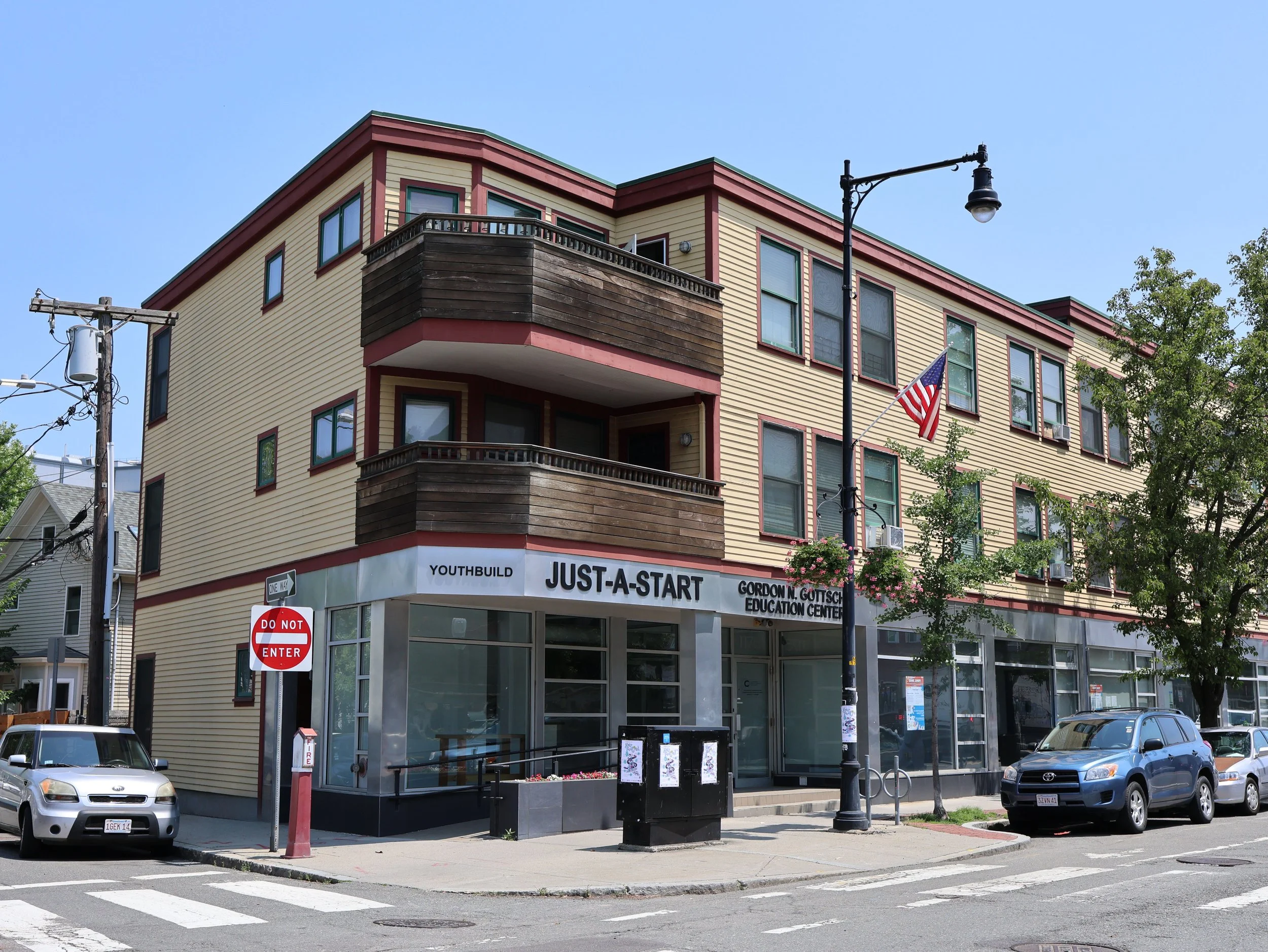
71 Cherry St
Cambridge, MA 02139
1175 Cambridge St
Cambridge, MA 02139
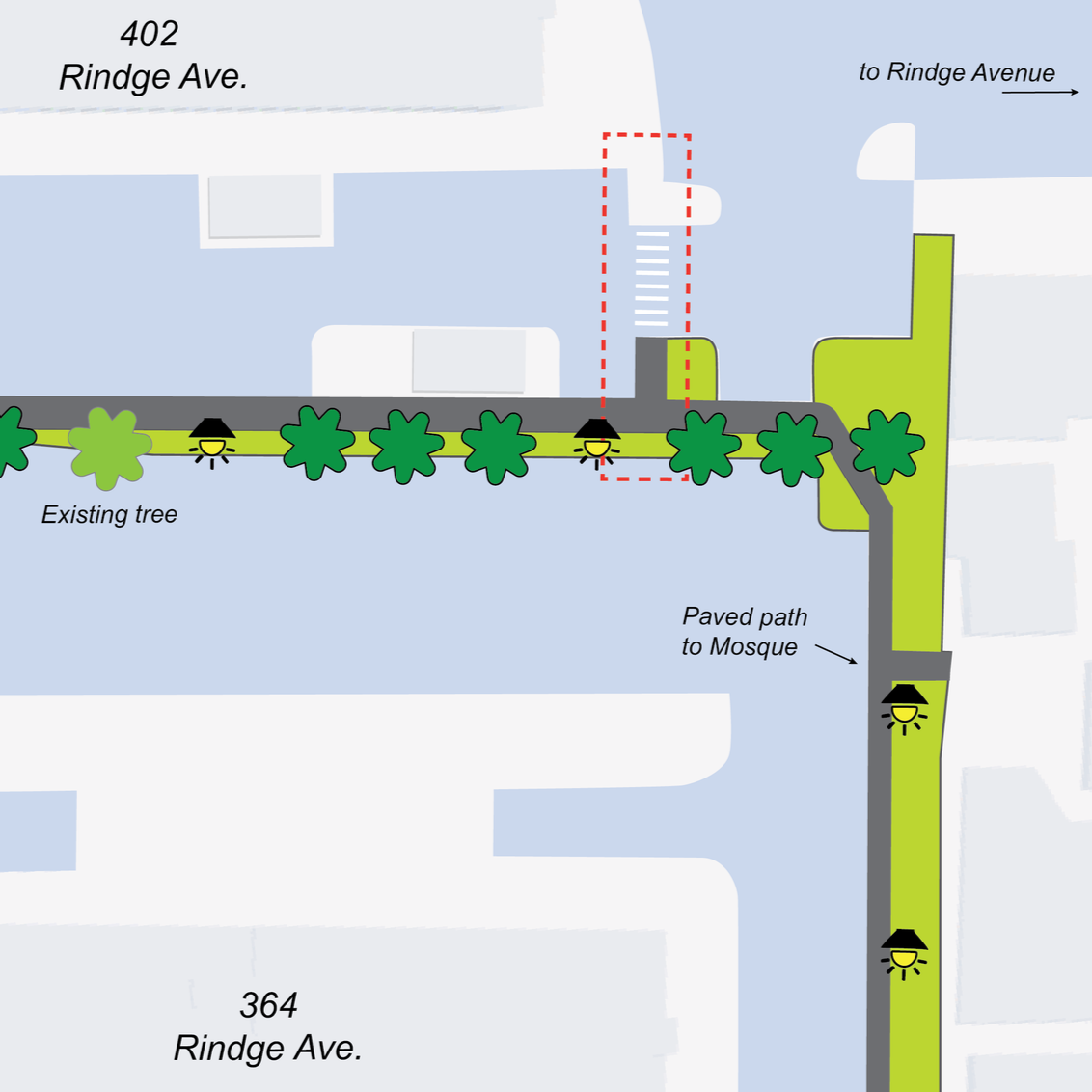
362, 364, and 402 Rindge Avenue
Cambridge, MA 02140
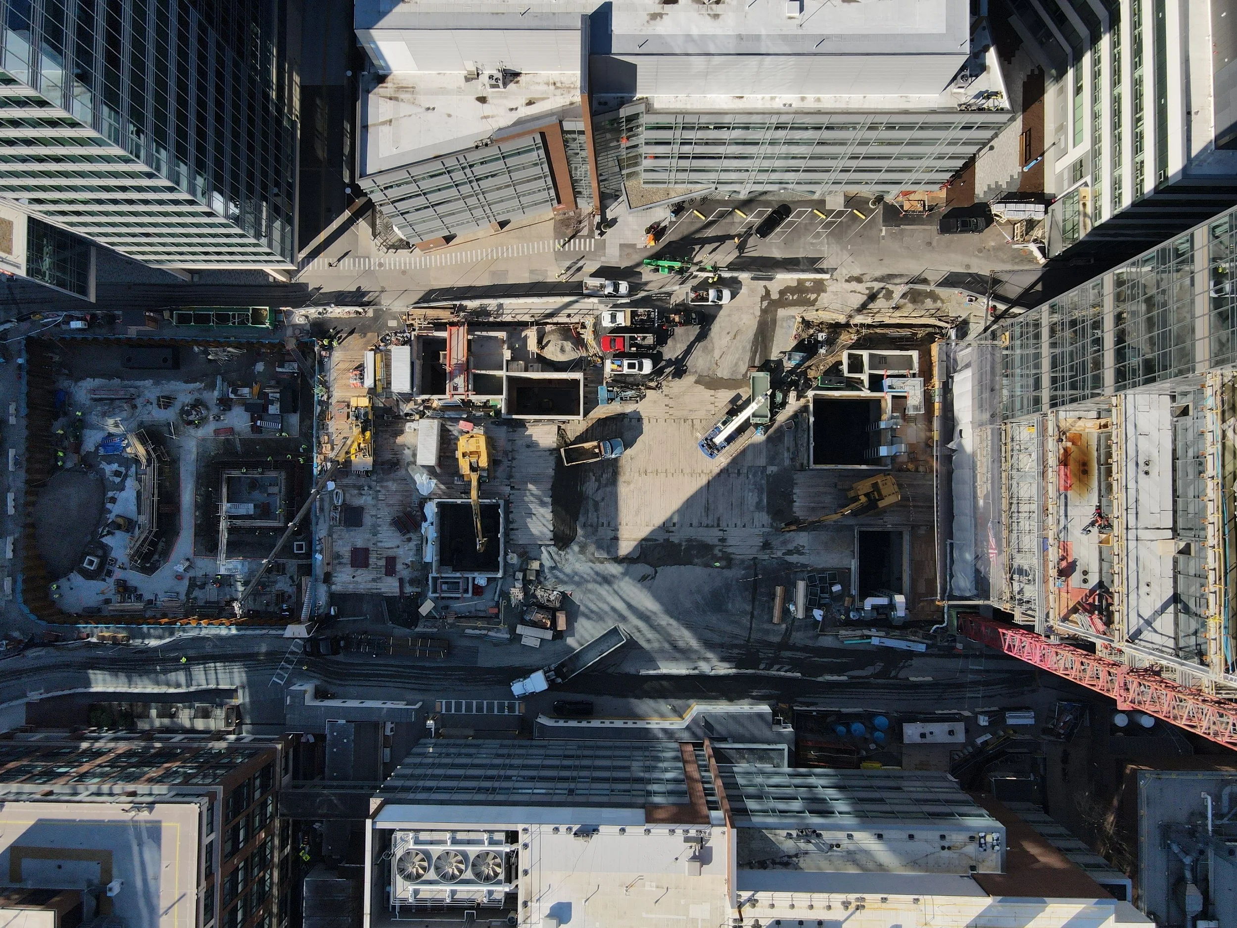
123 Broadway
Cambridge, MA 02142
105 Broadway
Cambridge, MA 02142
123 Broadway,
Cambridge, MA 02142
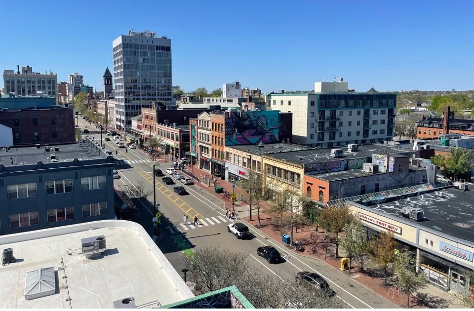
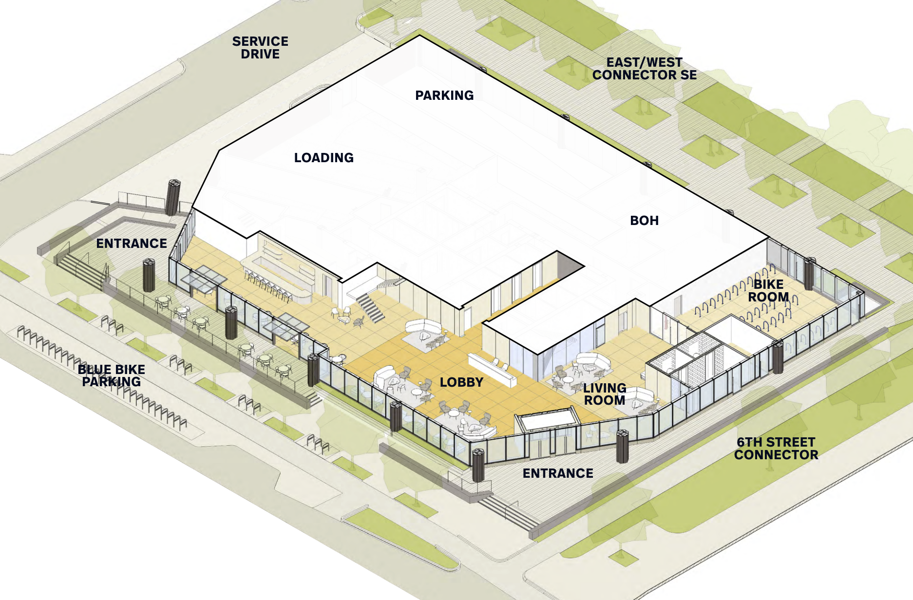
325 Main Street
Cambridge, MA 02142
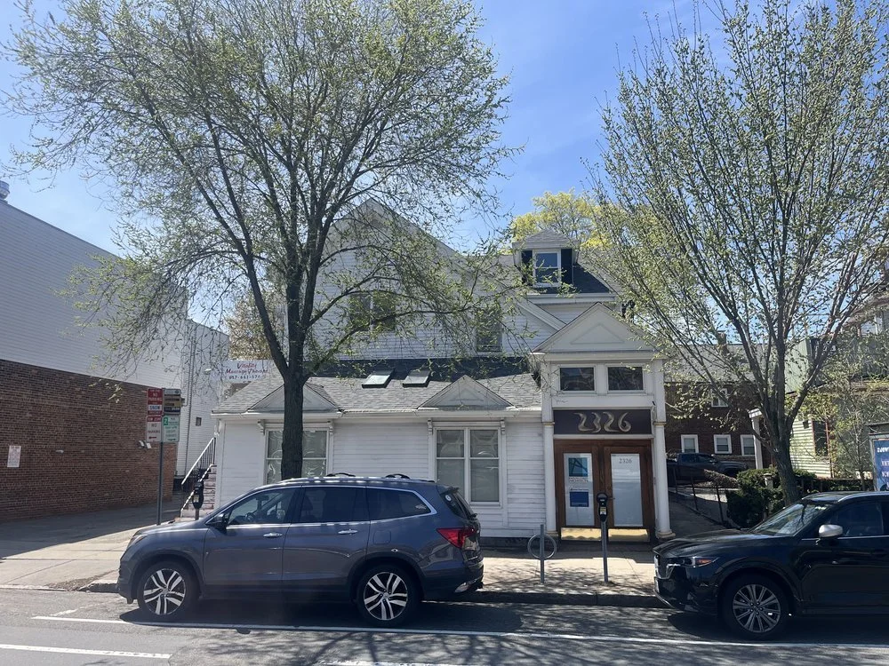
2326 Massachusetts Ave
Cambridge, MA 02140
Ames St,
Cambridge, MA 02139
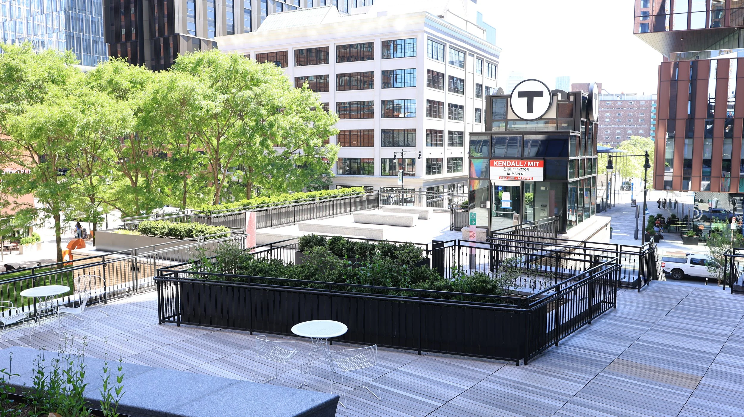
Kendall Square Wide
Cambridge, MA
121 Broadway
Cambridge, MA 02142
Kendall Square Wide
Cambridge, MA